Courses
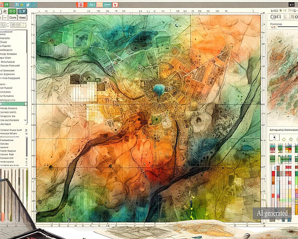
GIS and Spatial Analysis in Archaeology
Dive into GIS in archaeology this fall! Learn to analyze spatial data from advanced datasets, enhancing your field surveys and landscape analysis with advanced GIS techniques.
Read more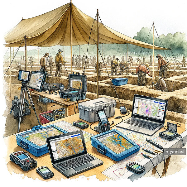
Advanced 3D Recording, Processing and Visualization in Archaeology
Dive into advanced 3D technology in archaeology, gain hands-on experience in 3D modelling, laser scanning, and advanced 3D visualization and cutting-edge techniques!
Read more
Buildings as Archaeology - the Analysis of Complex Built Environments
Learn advanced techniques with laser scanning, 3D modeling, and GIS and advanced analytical methods for building analysis.
Read moreAll our courses are free of charge for EU citizens!