Swedigarch tutorials
These tutorials are developed within Module 5 of SweDigArch – the Swedish National Infrastructure for Digital Archaeology (https://swedigarch.se/).
They provide practical and methodological guidance for producing interoperable digital datasets across multiple archaeological scales — from landscape and site documentation to artefact-level 3D collections and emerging multidimensional analytical data.
The aim is to ensure that new digital data are created in ways that support long-term reuse, FAIR principles, and integration within the Swedigarch ecosystem. By defining acquisition parameters and reproducibility standards, the workflows facilitate aggregation and enable connections to excavation data and archaeological science datasets.
Together, these tutorials support sustainable digital field practice and the development of research-ready, interoperable archaeological data.
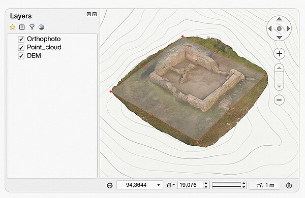
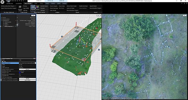
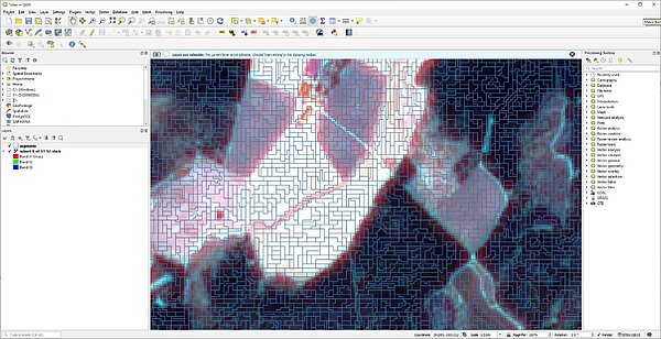
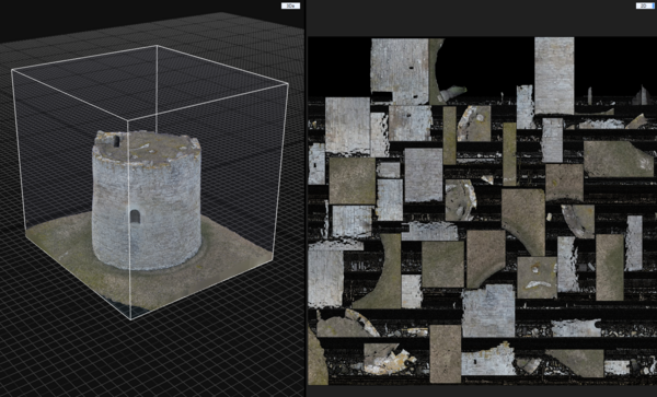
Georeferencing of 3D boundary and surface models in GIS
Learn how to import, georeference, and align 3D boundary and surface models within a GIS environment.
Read more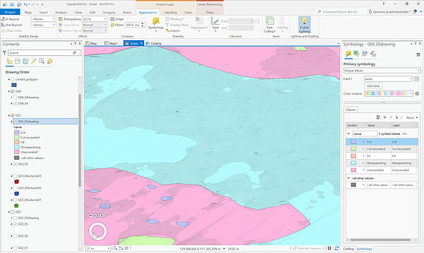
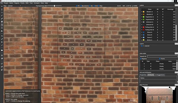
Vector drawing on 3D surface boundary models polylines and polygons
Learn how to draw and edit vector features directly on 3D boundary and surface models.
Read more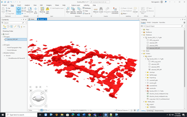
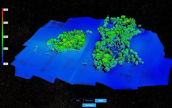
Importing GPR-derived data in 3D GIS
This tutorial shows how to import and visualise Ground-Penetrating Radar (GPR) datasets in a 3D GIS environment.
Read more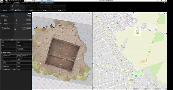
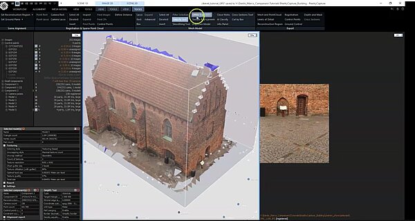
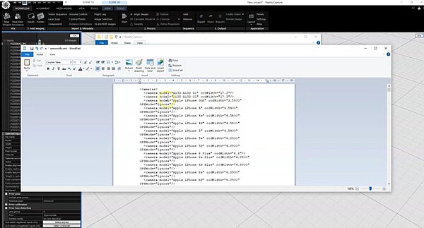
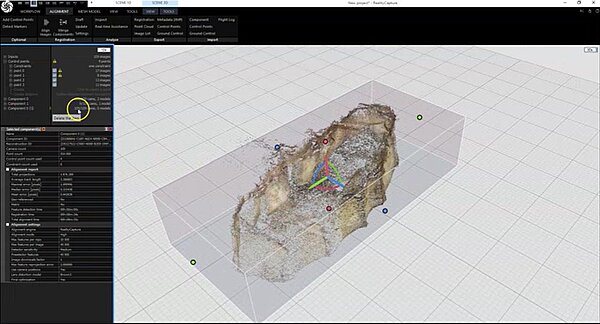
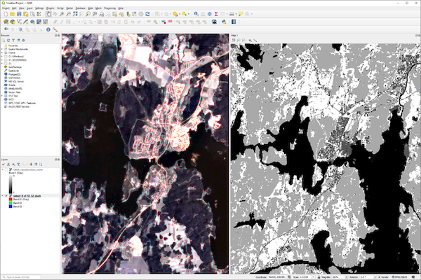
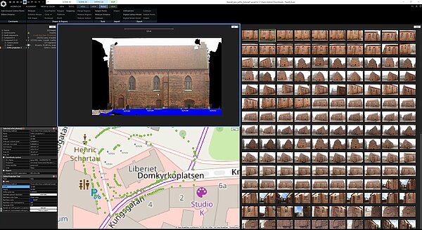
Georeferencing a 3D textured model of an excavation trench Reality Capture
Learn how to georeference a textured 3D trench model in RealityCapture and accurately align it within a GIS environment.
Read more